New Zealand: Queenstown, Gold, Glaciers and the Mountains That Steal the Show
A few days in Queenstown became a journey through glacial geology, gold-rush history, alpine food, and one unforgettable helicopter flight into the Southern Alps.
September 2026 · 10 min read
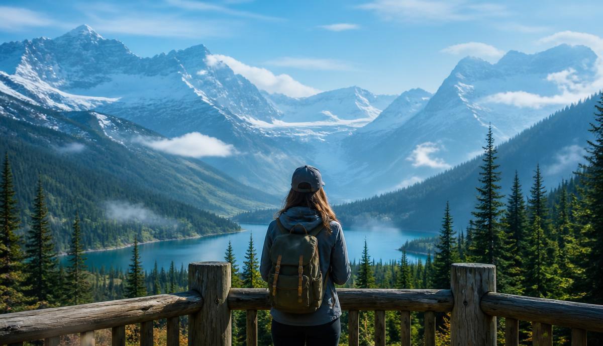
Some places make you work to understand them. Queenstown does the opposite. The geography explains the place almost immediately. A compact town sits against the edge of Lake Wakatipu, mountains rise abruptly around it, and almost every street seems to end with a view that would qualify as a destination somewhere else.
Loading map
Fetching country shapes…
I arrived in early spring, when Queenstown was caught between seasons. Cherry blossoms were opening around town while fresh snow still traced the Remarkables across the lake. That contrast became the theme of the visit: waterfront cafes and alpine ridges, polished restaurants and old mining streets, green valleys below and deep winter still holding on above them.
The first thing I did was walk. Queenstown rewards that. The lakefront, wharf, gardens, and center of town are close enough that the scenery never becomes something you drive past. It stays in front of you.
For someone with a geology background, Queenstown is almost unfair. The landscape is a field lesson with better restaurants.
Lake Wakatipu occupies a deep glacial trough carved during repeated ice advances. New Zealand's Department of Conservation notes that ice once stood roughly 1,000 meters above the lake's present level in places, and that the lake basin was gouged to hundreds of meters below today's surface. Around Queenstown, Mesozoic schist forms the geological foundation, while the valleys and terraces carry younger glacial, river, and slope deposits.
The Remarkables are the most dramatic classroom. Their serrated profile reflects schist that has been intensely folded and faulted. The result is a mountain front that looks almost engineered for drama, especially when the higher ridges are picked out in snow.
Lake Wakatipu has another quirk: a natural seiche, a standing-wave oscillation that can make the water level rise and fall by around 20 centimeters in Queenstown Bay. Māori tradition also preserves a story of the lake as the body of the giant Matau, with the water's rhythmic movement understood as his beating heart. Science and story describe the same living landscape in very different languages.
The Skyline Gondola is the obvious tourist move, which sometimes makes me suspicious. In this case, obvious is obvious for a reason.
With every few meters of elevation the shape of Queenstown becomes clearer. From above, you can see the compact center pressed against Queenstown Bay, the long reach of Lake Wakatipu, Kelvin Heights, and the Remarkables stretched across the horizon.
It is one of those views that gives you both spectacle and orientation. The town makes more sense after you have seen it from above. I spent more time looking than doing, which may be the highest compliment I can give a viewpoint.
About twenty minutes from Queenstown, Arrowtown changes the pace completely. The modern adventure capital gives way to a small historic settlement built along the Arrow River, with preserved shopfronts, cottages, mature trees, and a main street that still carries the scale of the nineteenth century.
Arrowtown, known locally as Kā-Muriwai, grew out of the 1862 Otago gold rush. Gold was discovered in the Arrow River by Jack Tewa, a Māori shearer also known as Māori Jack. By the end of that year more than 1,500 miners were camped along the river, and the rush permanently changed the region.
The part of the history that deserves more attention is the Chinese settlement. As the early rush faded, Chinese miners were encouraged to work Otago's goldfields. Many lived on the margins of European settlements and faced open discrimination. By the 1880s, Arrowtown's Chinese community included huts, stores, gardens, and a social hall. The partially restored settlement near Bush Creek is small in footprint but large in what it adds to the story of the town.
Arrowtown is also simply enjoyable. I walked Buckingham Street, wandered along the river, stopped into local shops, and found exactly the kind of place I like when traveling: history you can touch without the town feeling trapped by it.
Travel is never just about what a place looks like. You should be able to remember what it tasted like too.
Arrowtown delivered one of the best meals of the trip at Aosta. The restaurant takes its inspiration from northern Italy's Aosta Valley and Central Otago, two alpine regions that sit near the 45th parallel. That connection could easily become a gimmick. It does not. The food is refined, local, and very comfortable in its surroundings.
Back in Queenstown, Boardwalk at Steamer Wharf was another standout. A table near Lake Wakatipu, a New Zealand lamb dish, and the mountains outside the window is an efficient way to make a person reconsider leaving. The Central Otago Pinot Noir pairing practically writes itself.
Queenstown has plenty of restaurants aimed at visitors, but the best meals did not feel generic. They felt connected to the place: lamb, game, local produce, Central Otago wine, and a confidence that comes from being surrounded by very good raw ingredients.
The helicopter flight was supposed to happen the day before. Mountain weather had other ideas, and the flight was canceled. In Queenstown, that is not a scheduling inconvenience so much as a reminder of who is actually in charge.
The next day could not have been more different. Blue sky opened over the Southern Alps, and what had been a backup plan became the defining experience of the trip.
From the helicopter, the scale changes instantly. Valleys that feel enormous from the ground become narrow corridors between ridges. Snowlines reveal elevation. Rock structure appears as folds, ribs, and slabs. Rivers look like threads. Then the terrain rises into a world dominated by snow and ice.
Flying over active glacier ice was the geologic highlight for me. Crevasses open where the glacier is stretched as it flows over changes in slope and bedrock. Seracs and fractured ice mark zones where the glacier is deforming faster than the ice can bend. From the air, you can read movement that is almost impossible to perceive on human timescales.
And then we landed on the snow.
There are travel moments that need explanation, and there are moments when the photograph does most of the work. Standing in the Southern Alps beside a helicopter, surrounded by snowfields and sharp alpine peaks under a deep blue sky, belonged firmly in the second category.
The geology made it more interesting, but it did not make it less emotional. If anything, understanding how much tectonic uplift, glacial erosion, snowfall, gravity, and time had to cooperate to create that landscape made the view even better.
The modern town is famous for adventure tourism, but people moved through this landscape long before gondolas, ski fields, or helicopters.
Māori knew the Queenstown area as Tāhuna and used the broader Whakatipu region for seasonal food gathering and travel. Ngāi Tahu routes connected the interior with the West Coast, including journeys associated with pounamu. Archaeological evidence around the head of Lake Whakatipu records seasonal settlements and a landscape that was already known, named, and navigated before European pastoral settlement.
William Gilbert Rees and Nicholas von Tunzelmann arrived to establish high-country farming in 1860. Rees settled near what became central Queenstown. Gold discoveries soon overwhelmed the pastoral settlement and transformed it into a mining town. The bronze statue of Rees with a sheep on the waterfront is almost a perfect summary of that transition: pastoral Queenstown standing at the edge of the town that gold, tourism, and geography would create.
Queenstown could have become a place where the scenery does all the work and everything else simply sells access to it. It is better than that.
The landscape is obviously the star, but the experience works because the layers remain visible. Glaciers carved the basin. Māori routes crossed it. Gold reshaped it. Farming followed the valleys. Tourism built on the mountains. Food and wine now translate Central Otago into something you can taste as well as see.
In a short visit I walked the lakefront, rode the gondola, explored Arrowtown, ate extremely well, and flew into the Southern Alps. I came for a new country and some mountain scenery. I left thinking that Queenstown is at its best when you stop treating the mountains as a backdrop and start reading the story written into them.
That is my kind of place.
- Earth Sciences New Zealand: Queenstown-Lakes geology, https://www.gns.cri.nz/our-science/land-and-marine-geoscience/geology-of-new-zealand/urban-geological-maps/queenstown-lakes/
- New Zealand Department of Conservation: Queenstown and Wakatipu area, https://www.doc.govt.nz/parks-and-recreation/places-to-go/otago/places/queenstown-area
- New Zealand Department of Conservation: Arrowtown Chinese Settlement, https://www.doc.govt.nz/chinese-settlement
- Arrowtown: Our History, https://www.arrowtown.com/discover/our-history/
- Ngāi Tahu: Whenua and Whakatipu, https://ngaitahu.iwi.nz/opportunities-and-resources/publications/te-karaka/whenua-7/